Trip Overview

Package Details

The Chulus form the part of the Manang Himal.

The Chulus form the part of the Manang Himal. Of the two Chulus (East and West), the West is the 5th highest peak out of 18 peaks that have been listed under the Nepal Mountaineering Association (NMA). First ascended in 1952 by a Japanese Expedition, it is also one of the least frequented trekking peaks of Nepal.

Situated in a small valley north of Manang, off the main trail to the Thoronga- La, the Chulus often generate controversies regarding their name and the location hence there are several peaks close by and are also a part of Chulu massif which incidentally are not indicated in the map. However, the Chulu group comprises four peaks: two in the east and two in the west. Chulu West may also be called Chulu Central. There is no technical difficulty in ascending this peak but progress can be slow as the slopes are vulnerable to avalanches in certain conditions.

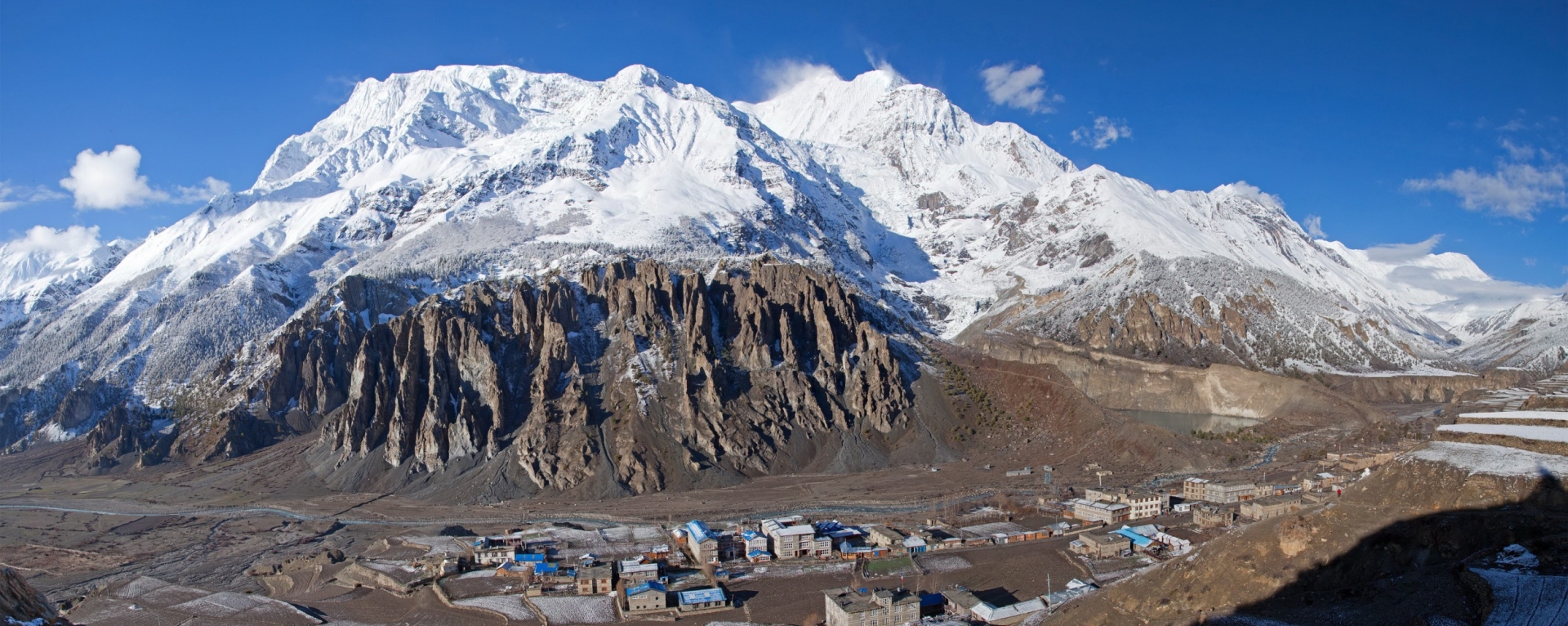
Chulu West is a moderate to challenging peak, usually requiring two camps above base camp. It is a wonderful peak with absolutely beautiful views of Tibet and Mustang. Many fossils can be found at around 5100 meters.

Things To Do

Itinerary & Map

Days View All Details

  • 1
    Arrive Kathmandu & Transfer to Hotel and welcome dinner in the evening
  • 2
    Half day City sightseeing and preparation for the trip
  • 3
    Drive west to Bensisahar 9 hours by bus.
  • 4
    Beshisahar - Bahundanda (1311m) - 6 hours.
  • 5
    Bahundanda - Chamje (1433m) - 6 hours.
  • 6
    Chamje - Dharapani (1943m) - 6 hours.
  • 7
    Dharapani - Chame (2713m) - 6 hours.
  • 8
    Chame - Pisang (3292m)- 5 hours.
  • 9
    Pisang - Manang (3351m) - 4 hours.
  • 10
    Rest in Manang; visit Monastery, Khangsar village & acclimatization
  • 11
    Manang - Chulu West BC
  • 12
    High camp
  • 13
    Chulu West summit - Chauri Lethar (4000m)
  • 14
    Chauri Lethar - Thorongphedi (4510m) - 3 hours and rest for the whole day.
  • 15
    Thorong Phedi - Thorong-La pass (5,416m) - Muktinath (3800m) - 9 hours.
  • 16
    Muktinath - Kagbeni (2800m) - Jomsom (2726m) - 5 hours.
  • 17
    Fly to Pokhara
  • 18
    Drive east to Kathmandu (200km/8 hrs) by bus or fly to Ktm - 35 minutes.
  • 19
    Free days for Sightseeing, Shopping followed by farewell dinner in the evening
  • 20
    Final departure
What you'll need

Includes excludes

Includes

  • Airport pick up & drop
  • Trekking and climbing guide
  • Cook, Assistant cook, other trek crews & porters
  • Insurance, lodging, food & allowance to your trek crews
  • Tents & mattress
  • All meals as per itinerary
  • Land transportation as per itinerary
  • Room in cities as per itinerary
  • Trek permit, national park fee & peak permit fee
  • Domestic flight ticket as per itinerary.

Excludes

  • International airfares
  • The cost of personal items like laundry & all kind of soft & hard drinks
  • Optional excursions
  • Cost of visas, insurance charges & passports where is necessary
  • Gratuities for services provided on a personal basis
  • The single supplement payable on all bookings where only one person is traveling
Something good about us

Client Reviews

There are no reviews.

Write a review

Leave Your Review


    captcha
    Quick facts
    • Elevation:
      21,059 feet / 6,419 meters
    • Location:
      Annapurna region of Nepal
    • Longitude:
      86° 56’ 10" East
    • Best season:
      May, July, August, September - November
    • Year First Climbed:
      1952
    • First Climber (s):
      Japanese Expedition team headed by M. Takagi
    • Convenient Center (s):
      Bensi Sahar / Manang village
    • Nearest Major Airport:
      Kathmandu (Minor: Hongde and Pokhara)
    • Itinerary Type:
      Fixed / Customized
    • Accommodations:
      Lodge / Camping
    • Trek grade:
      Moderate & Strenuous
    • Total days:
      16 + 4 = 20 days
    3
    Strenuous : Strenuous
    Subscribe to our

    Newsletter

    Subscribe to our newsletter for latest updates